|
I felt good and thrill that we made it
this far despite of the weather. I was ready to call it the day.
The weather
was calm but cold. We had another round of discussion as for what we should
do next. Once again the calm weather gave confident to some, but raised
concern to others. The weather had not been any better since Mt Adams, some
of us thought we had enough, some thought the not getting any better nor
worse weather was good enough to go on to at least Mt Washington. I
was completely feared for my life, I really didn't think I could make it to
Mt Washington, The word "hypothermia" kept flashing red in my
head.
One suggestion was to take Caps Ridge
Trail (2.5 miles) to descend, I was so on board. I had to admit that the
decision on my part was selfish; I didn't mind missing out of Mt Clay and Mt
Washington because I had summitted Mt Washington (on yet another wet and
foggy day) and Clay wasn't
one of the 4000fter on my list to summit. But on the other hand, it really
was a reasonable decision. Caps Ridge Trail was the shortest trail to
descend.
But once again we decided to make a
decision at the next junction...
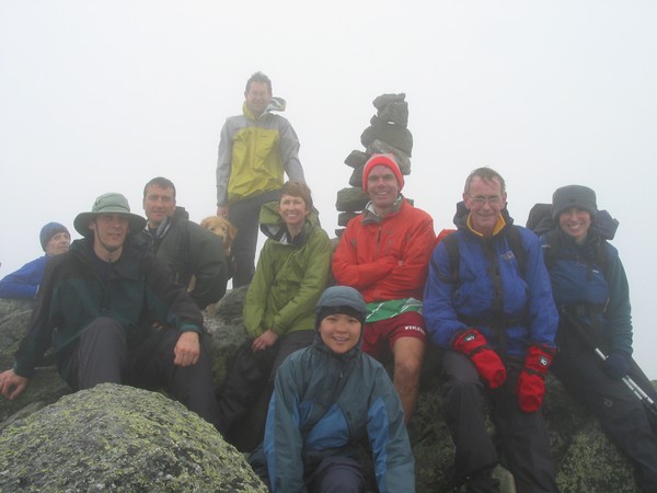
L -> R Lincoln, Mike, Dan, Chopper,John, June, me, Brian, Andy and Mary. Ian
was taking this picture. Paprika was somewhere here too, but not in this
picture.
Here is the other one with Ian and Paprika.
Time: 1:50:08 PM |