So one week after my
almost very successful Presidential Range Traverse, I finally gather my
thought to write the report.
I have been avoiding thinking about the hike because I accidentally deleted
all 166 pictures I took during the hike, I can't bear to think about the
hike without feeling angry at myself for losing my precious pictures. But
the good news is that 2 members from the hike had taken some pictures. At
least I got to keep the memory, the way they captured it.
--------
The highlight of this
year hike to me was the pre-hike anticipation.
As the date inching in, my blood
pressure raised. I was excited to revisit what we left off last year, a
rematch with our own fate and stamina.
When the emails started to back and
forth about the arrangement of car spotting and lodging for the night
before, the anticipation fume my heart. Last year, I was at the ridge of
this magnificent mountain range, the scene was supposedly grand yet I witness
no view but the treacherous weather. Knowing that I was in the grand
landscape yet not being able to see it was temptatiously frustrated.
So this year... I can't wait to
revisit what I was supposed to see last year.
Tad, June and I stayed at Mike B's
cabin in Tamworth, 1hour and 15 min away from the Appalachian Trial head.
The rest of the gang stayed at the Gorham Motor Inn. We started the hike at
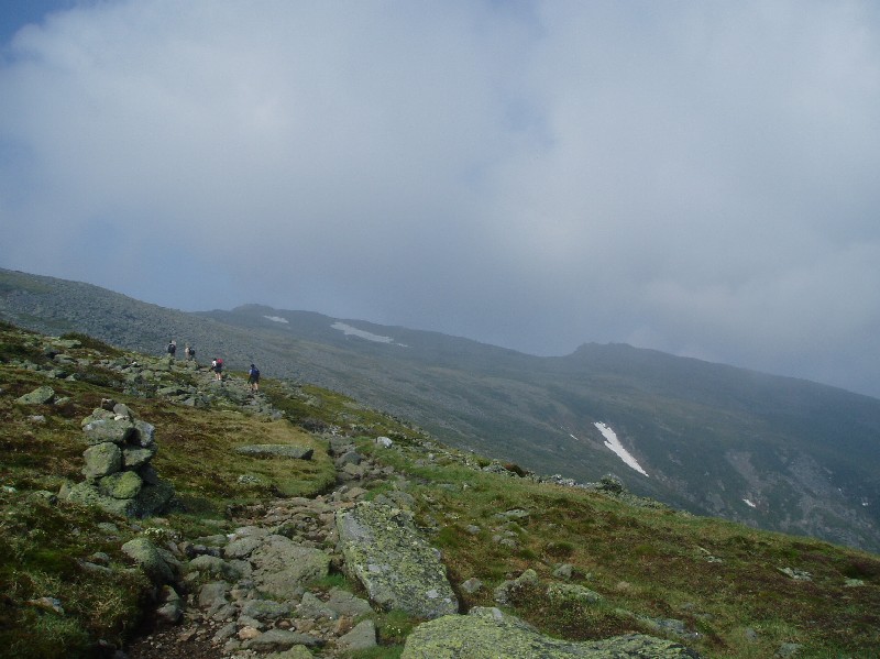
5:10 AM, 5 min ahead of schedule. The day started out very humid and cloudy. we
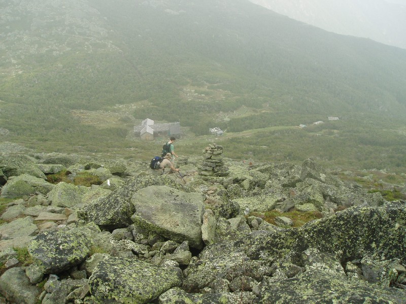
hiked into the cloud to the summit of Mt Madison. The cloud spread out as
we approached Madison Spring hut. I was almost emotional when I saw the
hut
from miles away, because last year, we were basically stumbling our way,
cairn by cairn to find our way to the hut as the fog was so thick and the
rain wasn't helping, we barely sighted a silhouette
of the hut when we're only few yards away from the hut. What a huge different
this time around.
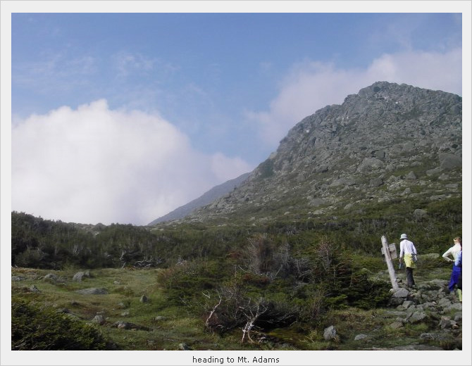
A short water break later, we hit
the trail again to Mt Adams. The sky was clear, we can see the rocky path
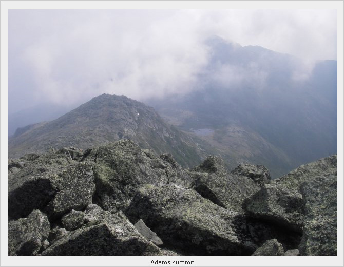
ahead of us led up to the summit of Mt Adams. With no trouble, we made it to
the summit and moved on very quickly toward Jefferson. As we arrived at the
Great Gulf, my eyes were filled with tears of joy... looking into the Great
Gulf Wilderness for the first time, the feeling was so fulfilling, it's a
matter of finishing an unfinished business, a mission accomplished.
Last year... this year. What a different a day made. It was great,
it was wicked great.
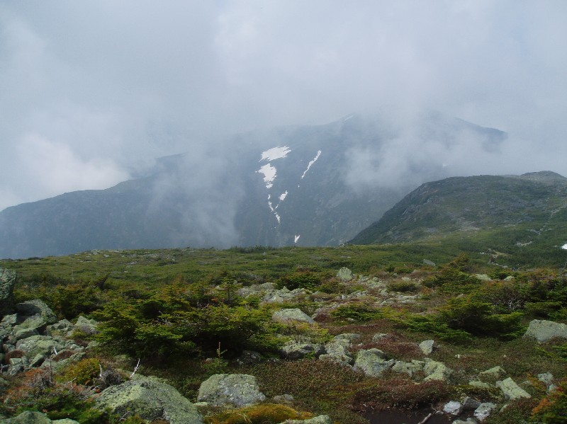
We crossed a few yards of snow field
as we approaching the summit of Mt Jefferson, and made it to the summit
where views as well as variety of bugs were abundance (but no wind). We
waited for Matt and Dan who were falling a little behind at the summit while
keeping the bugs entertained. As soon as Matt arrived, Carol, June and Dan
took some of his gears (including a full roll of duct tape) out of his very
heavy backpack to ease his weight and hopefully he could keep up his pace.
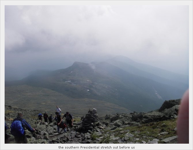
The magnificent view of the Great
Gulf Wilderness accompanied us all the way to Mt Clay and as we moved toward
Mt Washington, the sky began to thicken with clouds. The stronger hikers had
already waited for a while at the junction 1.1 mi below the summit when I
arrived, we watched the sky get darker and darker while waiting for others.
And the first sound of thunder roared through the dark cloud and followed by
big palettes of rain drops... Matt was asked to descent the mountain,
co-leader Dan volunteered to lead him down. The rest of us waited at the
junction for the thunder shower to ease out. Not dare to ascend even an inch
higher as the thunder kept on roaring. At least we didn't see any lightning,
and the rain was bearable. But the fact that we could see the summit
observatory building was some what frustrated; so close yet so far. 20-ish
minutes later, the rain and thunder finally quiet down a bit. With the "go
ahead" permission from Joe, we all charging ahead to the summit,
with very very clean and squishy boots.
I had 2 slices of pizza and a bowl
of clam chowder with 2 packets of crackers. Some had the Presidential Range
Traverse official food, the chili dog. Yumm....
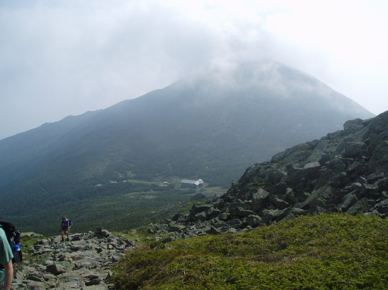
The second half of the day was
clear, bright, hot and humid. We left the summit observatory building of Mt
Washington around 3:15ish. The hike to Lakes of the Clouds hut was quite
hard for me. My knee began to ache and the trail was filled with running
water and very slippery. We arrived at the hut to see there were many people
resting outside of the hut, scattering their wet clothes all over the place
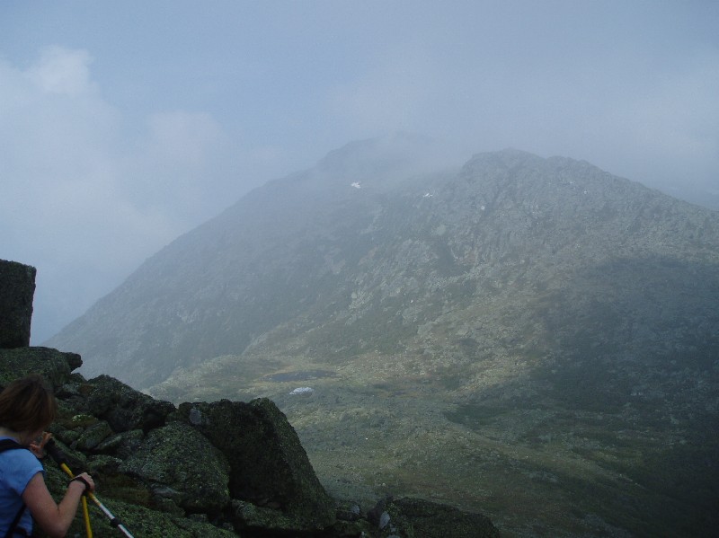
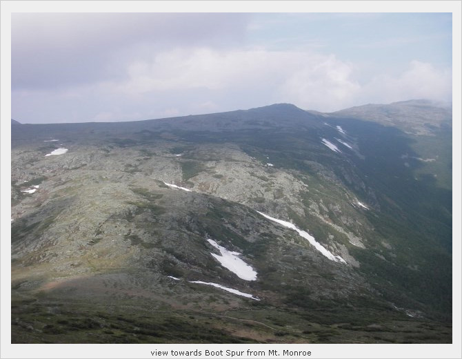
to dry. It was quite a fun scene. Hiking up Mt Monroe and looked back to the
Lakes of the Clouds was great. Again, it was a lousy day the last time I
visited the hut (3 years ago). What lake?? I couldn't even see the person 15ft ahead of me. But this time around, it's all good!
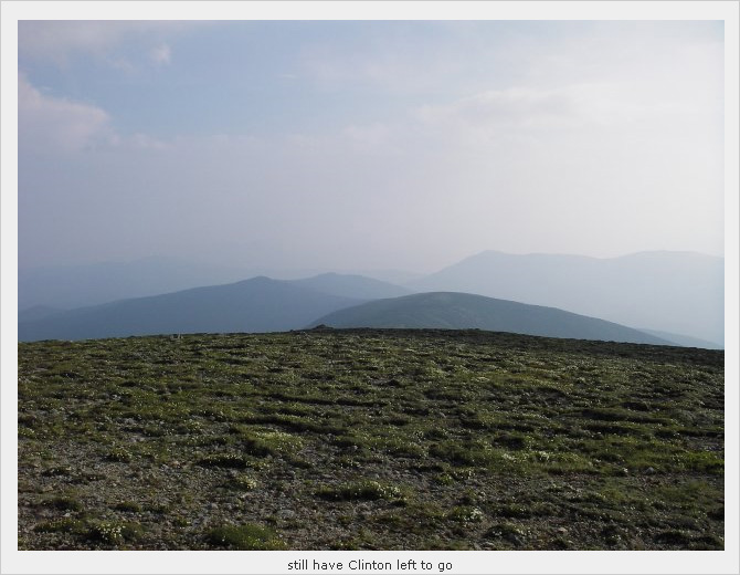
Up
Monroe to
Frankiln via Eisenhower
to Clinton... We're in great spirits and loving it. But the day light was
running low... by the time we reached the summit of Mt Clinton, Joe decided
that we'd wrap up the day and declare a success (despite we're 2 summits
away to finish the official traverse). Sounds good to me! June, Carol and I
descended from Mt Clinton, the rest made the short trip to Mizpah hut for
lemonade.... I much rather save my energy for a nice cold beer later :-)
I think we arrived at the Crawford
Path trailhead at around 8:30 PM. Matt and Dan were there waiting for us.
That's very kind of them to not only waited for us but also help us moved
some cars from the Appalachian trailhead to here. While we're chatting at
the parking lot, we saw lightning pierced across the sky, man, so glad we're
not up there when that happened.
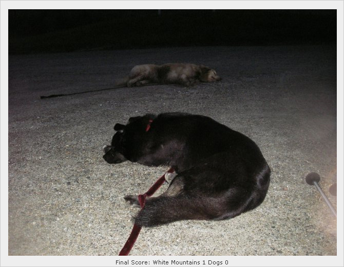
Anyway. it was a GREAT hike.
Pictures credit:
All picture without borders and captions are courtesy of
Matt Smith.
All picture with borders and captions are courtesy of
Tom Dmukauskas. Here are the
rest of the
pictures taken by Tom. |